|
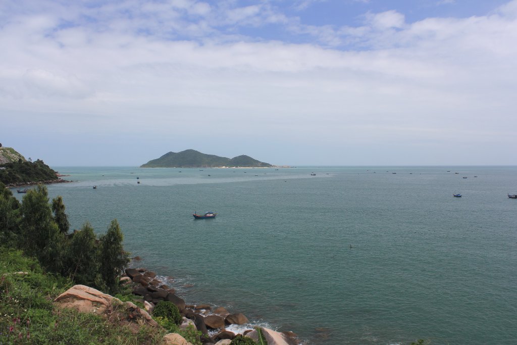 |
| Seaview | |
| Latitude: N 12°50'9,30" | Longitude: E 109°22'6,87" | Altitude: 6 metres | Location: Dai Lanh | State/Province: Kon Tum | Country: Vietnam | Copyright: Ron Harkink | See map | |
| Total images: 26 | Help | |
|
|
|
| Seaview | |
| Latitude: N 12°50'9,30" | Longitude: E 109°22'6,87" | Altitude: 6 metres | Location: Dai Lanh | State/Province: Kon Tum | Country: Vietnam | Copyright: Ron Harkink | See map | |
| Total images: 26 | Help | |