|
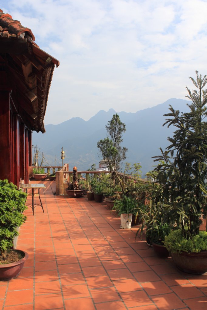 |
| Hotel | |
| Latitude: N 22°20'4,11" | Longitude: E 103°50'21,93" | Altitude: 1493 metres | Location: Lo Sui Tong | City: Sa Pá | State/Province: Lao Cai | Country: Vietnam | Copyright: Ron Harkink | See map | |
| Total images: 32 | Help | |
|
|
|
| Hotel | |
| Latitude: N 22°20'4,11" | Longitude: E 103°50'21,93" | Altitude: 1493 metres | Location: Lo Sui Tong | City: Sa Pá | State/Province: Lao Cai | Country: Vietnam | Copyright: Ron Harkink | See map | |
| Total images: 32 | Help | |