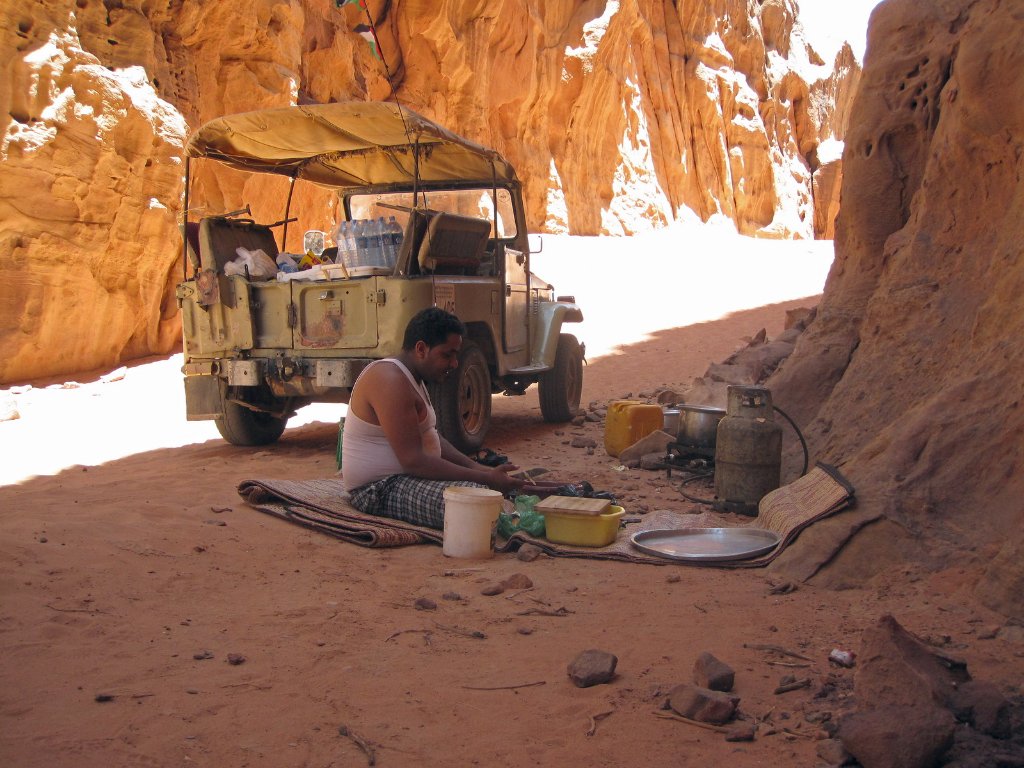
Up Ron & Marjolijn's holiday pictures » 2012-05 Jordan » 07-Wadi Rum Prev Next Slideshow

 Previous image  Next image  Index page  Original Image [13-Lunch.jpg - 755kB]
01-Our dessert camp
02-Our campsite from the south
03-View of our camp site in the distance
04-Sand dune near camp
05-Wadi Rum at sunset
06-Climbing the sand dune
07-View from the top on a Beduoin tent (= tea)
08-Sand dune
09-The Khazali Siq
10-The Little Rock Bridge
11-Some rockbridge
12-Tea ceremony
  13-Lunch.jpg - Lunch  
14-Luch in a gorge
15-Our jeep
16-Sand dune
17-Jebel Umm al-E'jil
18-Sunset
19-Dessert transport
20-Dessert View
21-Camels
22-Camel


Lunch Download Original Image
Latitude: N 29°29'31,27" | Longitude: E 35°28'10,79" | Altitude: 1136 metres | Location: Wadi Rum | State/Province: Al ‘Aqabah | Country: Jordanië | See map
Total images: 22 | Help