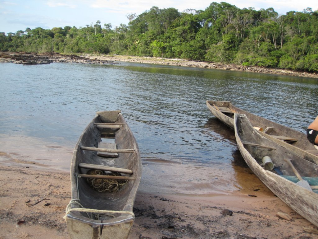
Up Ron & Marjolijn's holiday pictures » 2013-03 Venezuela » 08-Canaima Prev Next Slideshow

 Previous image  Next image  Index page  Original Image [64-Dugouts.jpg - 1.4MB]
52-On Isla Orquidea
53-The water of the river is light brown by tannins
54-The now nearly dry branch on the right of Isla Orquidea
55-Rio Carrao with Auyantepui in the background
56-Rio Carrao with Auyantepui in the background. Angel Falls is om the outer side of the mountain
57-Rio Carrao panorama on Isla Orquidea
58-Rio Carrao with Auyantepui in the background.
59-BAT
60-The most western part of the Auyantepui
61-forest fire, a common phenomenon
62-The first rapids of the Rápidos de Mayupa
63-Marjolijn walking to the next canoe
  64-Dugouts.jpg - Dugouts  
65-Ant nests
66-A kind of swallow
67-Canaima Lagoon from thr plane
68-Rio Caroni
69-Rio La Paragua
70-Embalse de Guri
71-Back in Cuidad Bolivar


Dugouts Download Original Image
Latitude: N 6°10'43,91" | Longitude: W 62°46'36,62" | Altitude: 446 metres | Location: Mayupa | State/Province: Estado Bolívar | Country: Venezuela | See map
Total images: 70 | Help