|
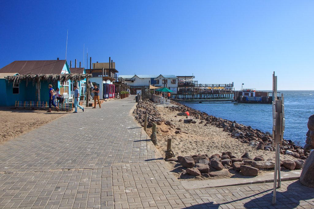 |
| Walvisbaai | |
| Latitude: S 22°57'29,05" | Longitude: E 14°28'57,86" | Altitude: 1 metres | Location: Walfischbucht | State/Province: Erongo | Country: Namibia | Copyright: Ron Harkink | See map | |
| Total images: 14 | Help | |
|
|
|
| Walvisbaai | |
| Latitude: S 22°57'29,05" | Longitude: E 14°28'57,86" | Altitude: 1 metres | Location: Walfischbucht | State/Province: Erongo | Country: Namibia | Copyright: Ron Harkink | See map | |
| Total images: 14 | Help | |