|
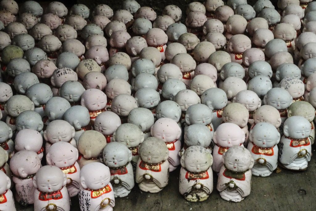 |
| 04-Senkö-ji | |
| Latitude: N 34°24'39,53" | Longitude: E 133°11'55,22" | Altitude: 113 metres | Location: Onomichi | City: Higashitsuchidouchou | State/Province: Hiroshimaken | Country: Japan | See map | |
| Total images: 13 | Help | |
|
|
|
| 04-Senkö-ji | |
| Latitude: N 34°24'39,53" | Longitude: E 133°11'55,22" | Altitude: 113 metres | Location: Onomichi | City: Higashitsuchidouchou | State/Province: Hiroshimaken | Country: Japan | See map | |
| Total images: 13 | Help | |